

Gdynia centrum is the city’s central district, where a walk can link modernist architecture, Gdynia Główna railway station and the waterfront.
- On foot: The UNESCO modernist route runs from Plac Konstytucji through the centre to the marina and City Beach.
- Route length: About 3.5 km; published walking-time estimates range from about two to roughly three hours.
- Key streets: 10 Lutego and Świętojańska connect central landmarks and feature on the walking route.
- Waterfront: The route ends at Molo Południowe, near the marina and Gdynia Aquarium.
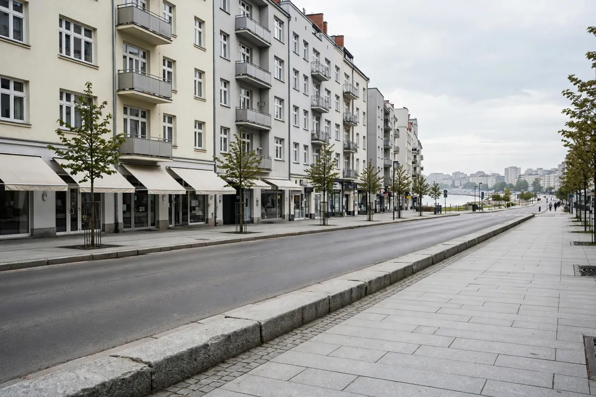
Where Gdynia centrum sits
Gdynia centrum is the central urban area around Śródmieście, with a railway station, a bus station and streets that lead towards the sea. It’s a useful starting point for a Gdynia one-day walking route, especially if you want to connect the city’s modernist buildings with the waterfront.
Gdynia’s official open-data portal publishes a city map divided into districts, which can help you place the centre within the wider city.
The city’s UNESCO-route description starts at Plac Konstytucji and follows Gdynia Główna, the market halls, 10 Lutego Street, Świętojańska Street and Kościuszko Square before reaching the waterfront. Along the way, the listed architecture includes Bank Polski, the former ZUS office building, Bankowiec and the post-and-telegraph building.
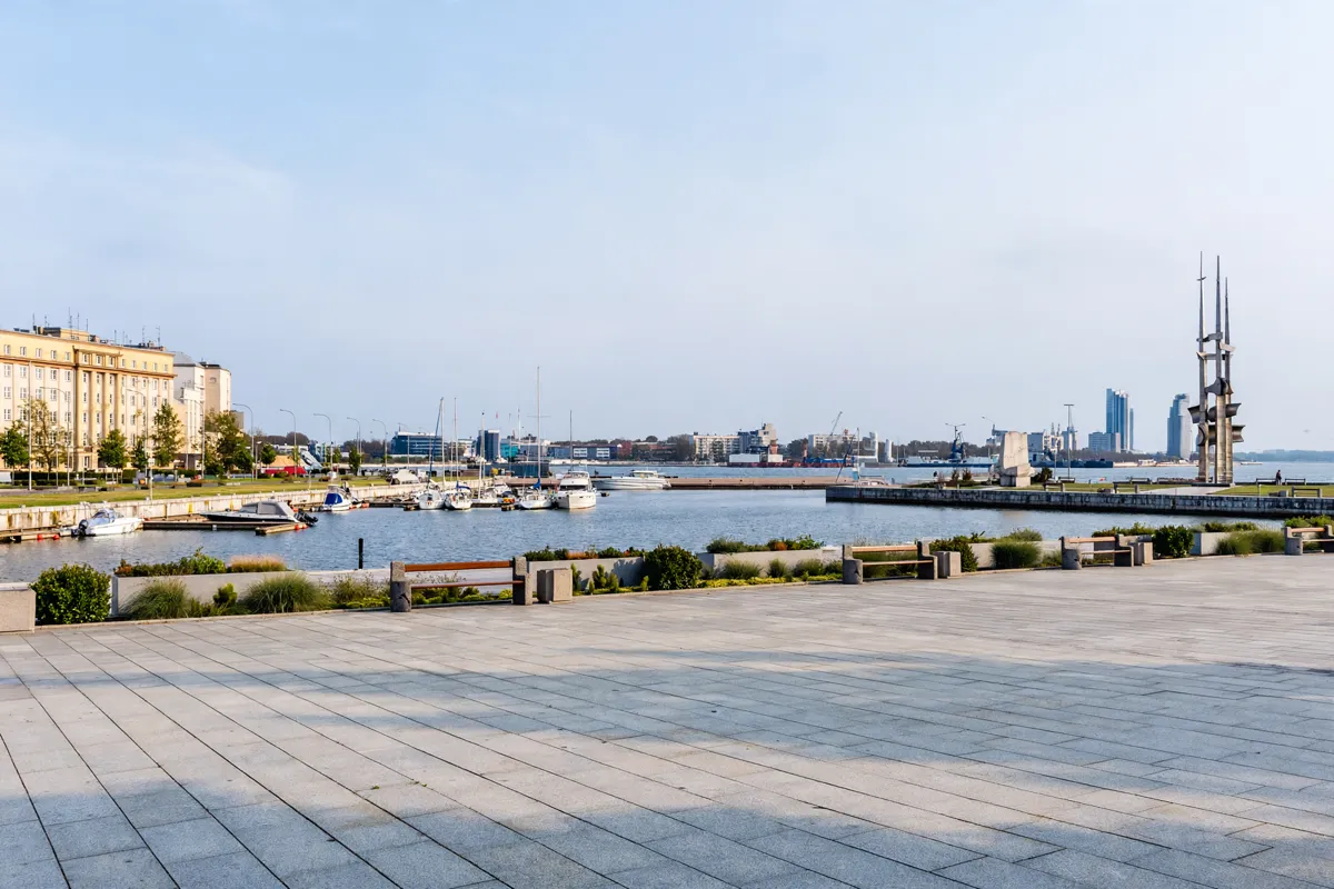
Landmarks within walking distance
Central Gdynia’s landmarks form a walkable sequence from civic streets to Kościuszko Square and the waterfront. Gdynia’s official UNESCO-route description identifies the route and its stops; the city’s modernist-route maps are available through modernizmgdyni.pl, and route-walk information is available from Municipal Tourist Information.
Begin around Plac Konstytucji and Gdynia Główna, then follow the route by the municipal market halls and along 10 Lutego and Świętojańska. Gdynia InfoBox appears among the route landmarks before Kościuszko Square. From there, continue towards Molo Południowe, the marina and Gdynia Aquarium.
Molo Południowe is a central landmark aligned with Jana Pawła II Avenue. The city describes it as a place with views of the sea, marina, port, city and Kamienna Góra. The Bulwar Nadmorski, beach and marina are also among the centre’s seaside recreation areas.
For a shorter landmark-focused walk, central sights include Para Kaszubów na ławce, Pomnik Antoniego Abrahama and Domek Abrahama. Other stops on the wider route include ORP Błyskawica and Dar Pomorza, both featured among Gdynia’s waterfront museums. The route description also includes Teatr Muzyczny im.
Danuty Baduszkowej and the cross on Kamienna Góra. From Hotel Blick, Para Kaszubów na ławce is about 1 minute on foot, Pomnik Antoniego Abrahama about 2 minutes, Domek Abrahama about 6 minutes, ORP Błyskawica about 12 minutes, Dar Pomorza about 13 minutes and Teatr Muzyczny im. Danuty Baduszkowej about 13 minutes.
How do you get around Gdynia centrum?
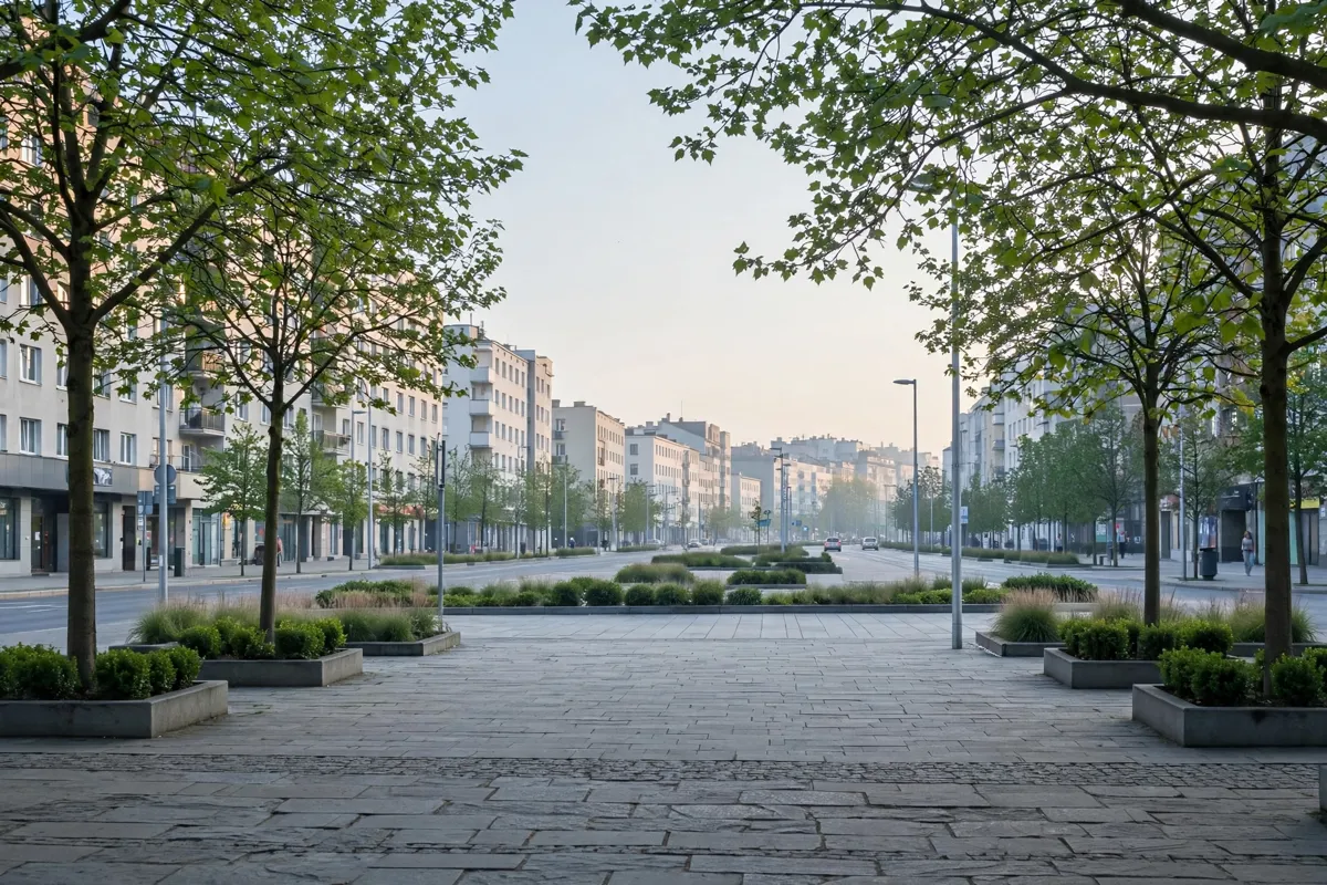
Walking works well for the central route, while Gdynia Główna and the bus station make Śródmieście a public-transport hub. The city identifies Świętojańska Street and 10 Lutego Street as important routes for public and private transport.
For journeys beyond the centre, compare current options in this Gdynia public transport guide. Routes and services can change, so check the official site before you go: ZKM Gdynia is the public-transport operator.
If you’re driving, parking rules vary by area. Check the city’s current parking information before setting out rather than relying on an old zone map.
How do you walk from the centre to the waterfront?
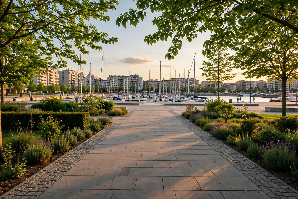
Follow the modernist route from Plac Konstytucji through the central streets to Kościuszko Square, then continue to Molo Południowe, the marina and City Beach. The full route is approximately 3.5 km. Published estimates differ: one gives about two hours on foot, while another quotes roughly three hours.
Allow time to pause at the architectural landmarks and spend time by the water; the route’s stated duration depends on which estimate you use. From Molo Południowe, the sea, marina, port, city and Kamienna Góra are all part of the view described in the city plan. The Bulwar Nadmorski and beach offer seaside recreation areas.
For a route map, use the modernist-route information at modernizmgdyni.pl or ask Municipal Tourist Information about route walks. You can also use the city’s district map to orient yourself before setting off. Hotel Blick makes it easy to explore the route on foot.
FAQs
How long is the central Gdynia modernist route?
The route is approximately 3.5 km. Published walking-time estimates range from about two to roughly three hours.
Where does the route to the waterfront end?
It continues from Kościuszko Square to Molo Południowe, the marina and Gdynia Aquarium, with City Beach also on the route.
Where does the central walking route begin?
The UNESCO modernist route begins at Plac Konstytucji and continues through the city centre towards the waterfront.